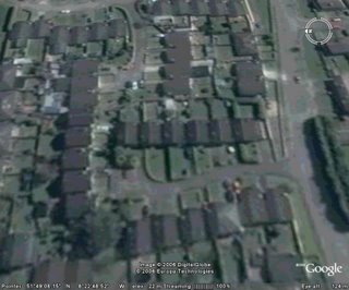
Google have updated their satellite imagery! On October 3rd, we updated Google Maps and Google Earth with the following new imagery:
- the whole state of Minnesota, South Carolina, North Dakota, Missouri (updated to 2005), Idaho, Maryland, and now full coverage for the entire state of Texas
- Updates to Florida (most of the state covered now)
- 15 high-resolution cities in Germany
- update for London, 2006 data at 10cm from Bluesky
- South Georgia Island (courtesy of the British Antarctic Survey)
- Albany, OR; Lubbock, TX; Port Townsend, WA; Portage County, OH; Trumball County, OH
- 32 Digital Globe Citisphere cities (updates and new coverage)
In addition there was a significant update to the regular Digital Globe imagery all over the world.
Enjoy! - link
So what i hear you say, they update imagery ever few months! This time it is different! You can now see my house! Yup!
YAY!! =)
|
|
If you like this post then please subscribe to my full RSS feed. You can also click here to subscribe by email. Thanks for visiting! Darran. |
Wednesday, October 04, 2006
new imagery
Subscribe to:
Post Comments (Atom)


Hey Darran. It's a bit hard from here to punch you on the arm, but I can still tell if you are waffling or not! :oP I'm actually writing something to you now when I am online, you should be feeling honoured!
ReplyDeleteI'm not waffling! You CAN see my house!! Is that not worthy of a blog entry?!!
ReplyDeletePlus yes, i do feel honoured!
look at the maryborough house hotel, the forest which looks impressive from the ground is just a postage stamp, similarily look at the expsnsive mansions on the crosshaven road (on the left as you drive from carrigaline) their forest doesn't extend behind the houses. However look at the older coolmore house it actually has land, and lots of it.
ReplyDelete